Maphattan
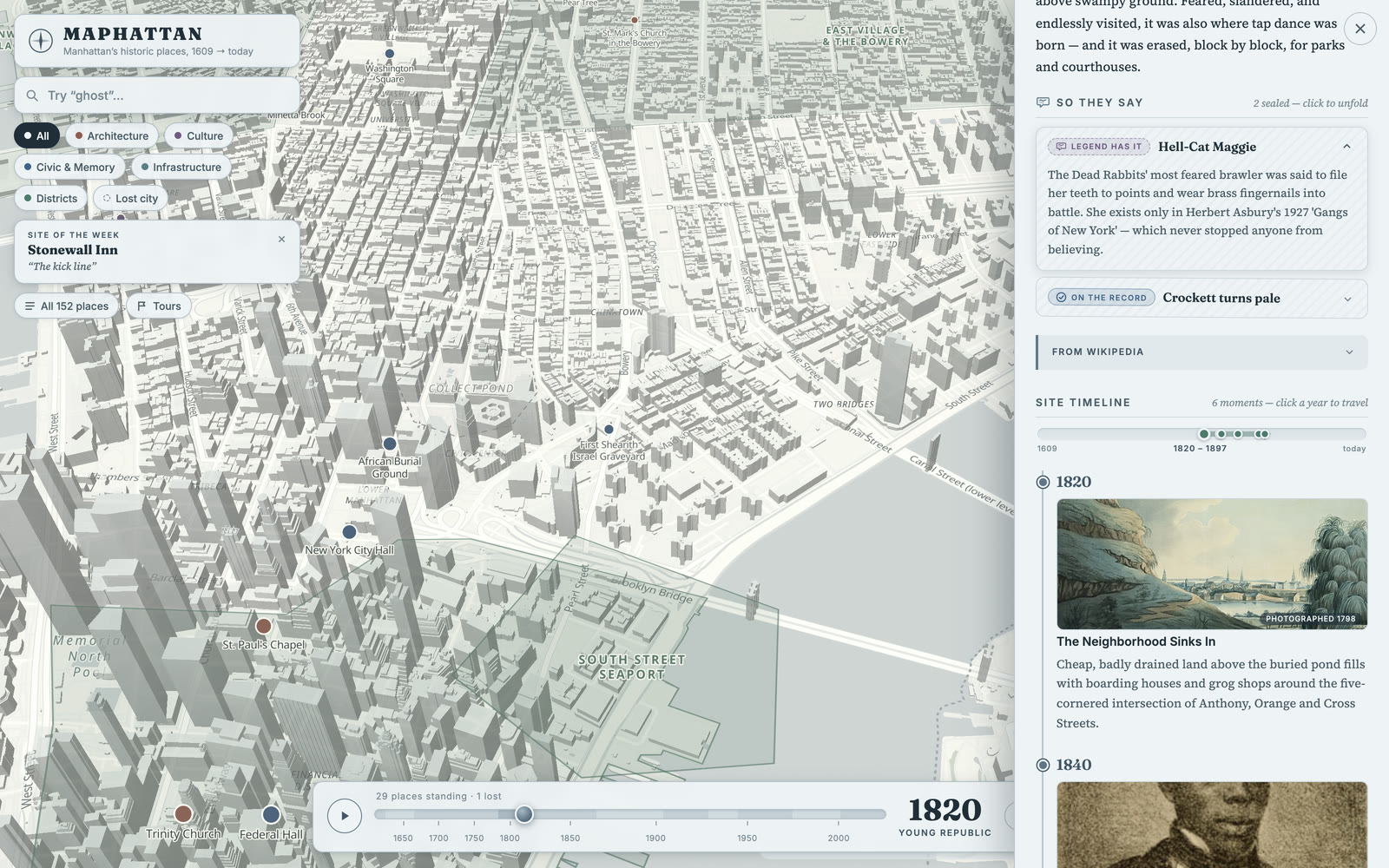
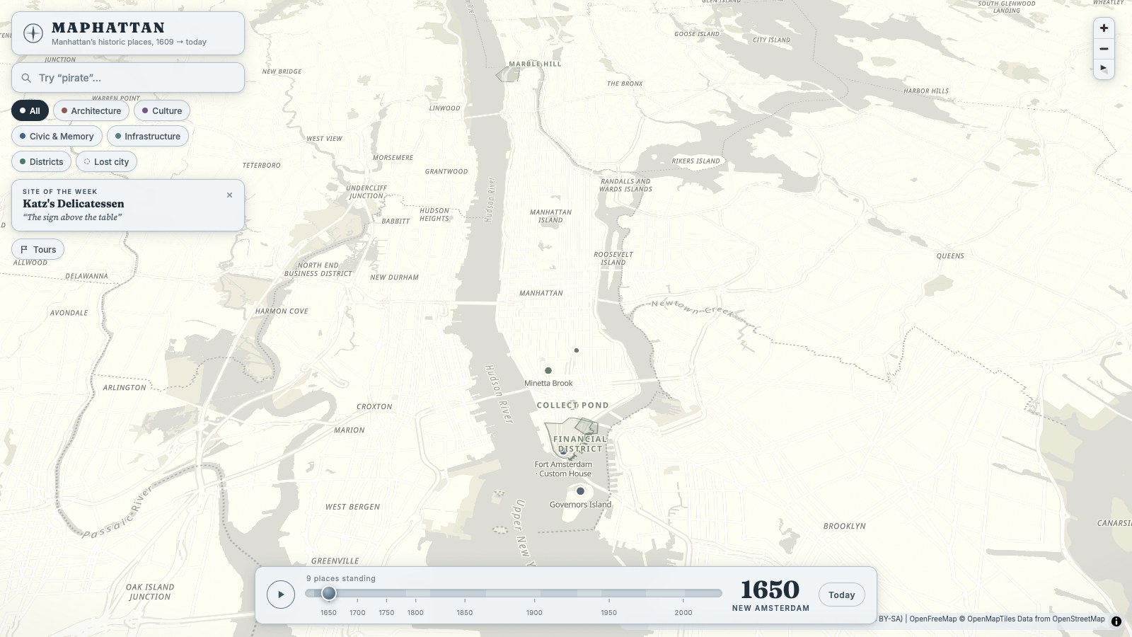
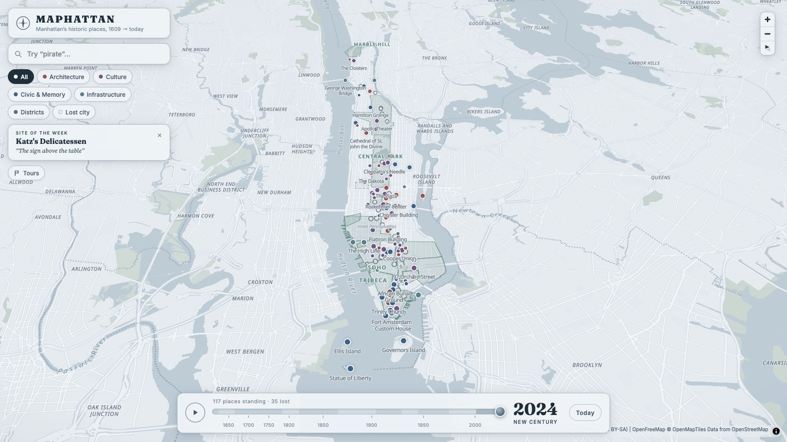
Maphattan adds a time layer to a map of Manhattan. Users drag a slider from 1609 to today, and the map shows what stood at each place in that year, including places that were later demolished.
- Role
- Design and engineering
- Timeline
- 2026
- Format
- Web app and Chrome extension
- Content
- 152 places and 511 dated events
Online maps show what stands at a place today, but not what stood there before.
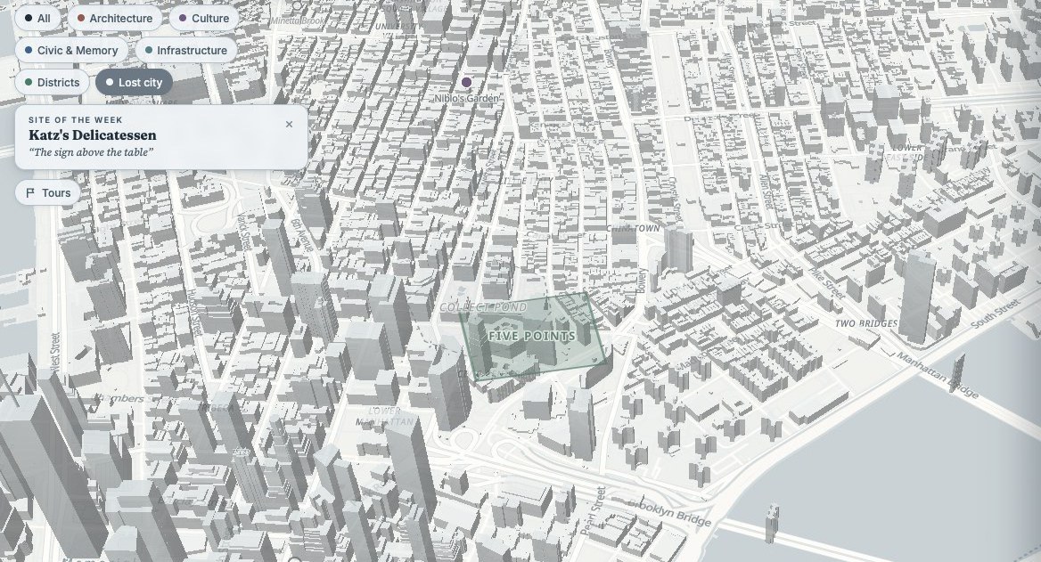
Google Maps shows current buildings and businesses. Much of Manhattan’s history, such as the Five Points neighbourhood or buildings demolished decades ago, does not appear on it. Maphattan places 152 historic places and 511 dated events on the map, so the city can be read at any year since 1609. A filter shows only the places that were demolished.
Each place has a page that connects its history to the map.
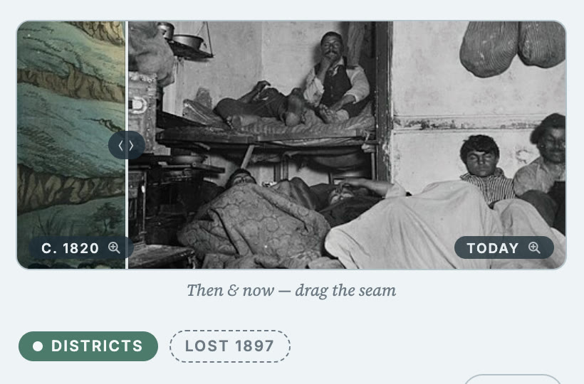
A place page shows an image comparison with a draggable divider, the legends told about the place, labelled separately from documented events, and a timeline of dated moments. Clicking a year in the timeline moves the whole map to that year.

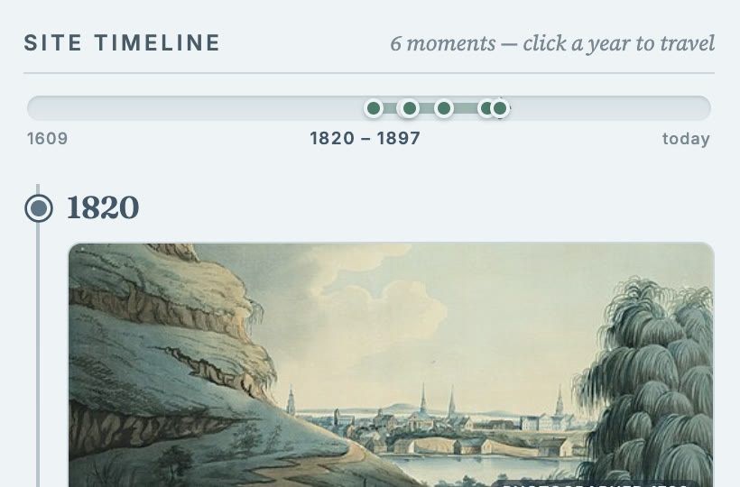
Selecting a year in a place’s timeline sets the whole map to that year.